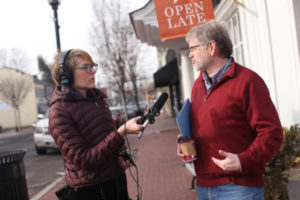
UMW Professor of Geography Steve Hanna, seen here during a 2018 interview for ‘With Good Reason’ radio, was the lead author on a journal article that won the prestigious Zumkehr Prize for Scholarship in Public Memory. Hanna’s research involves ‘narrative mapping’ applied at Southern plantation museums to determine how the South tells its story about slavery. Photo by Karen Pearlman.
As visitors to Southern plantation homes know, the information they receive depends on docents and the questions they’re asked, and by where on the site the group is congregated. In the parlor, for instance, tour-takers might hear about the residents’ family history and the placement of furniture. Outside, they will likely learn more about crops and, perhaps, the lives of enslaved people who labored in the fields.
The process of capturing and interpreting these variations is called “narrative mapping,” said UMW Geography Professor Stephen Hanna, whose research with colleagues at other universities aims to determine – and eventually change – how the South tells its story of slavery.
Hanna and his co-researchers applied the process to 170 tours at 15 different plantation museums. The results from two of those antebellum sites, Louisiana’s Laura Plantation and Virginia’s Berkeley Plantation, formed an article, published in the Journal of Heritage Tourism that won the prestigious Zumkehr Prize for Scholarship in Public Memory.
The honor would not have been possible, Hanna said, without years’ worth of help from Mary Washington students.
“They contributed their ideas, hard work and energy to the project” from 2014 to 2017, said Hanna, who served as the article’s lead author and who, as the team’s only cartographer, designed the method for graphically presenting the results. “My work with the students has become my favorite memories of my time at UMW.” Read more.